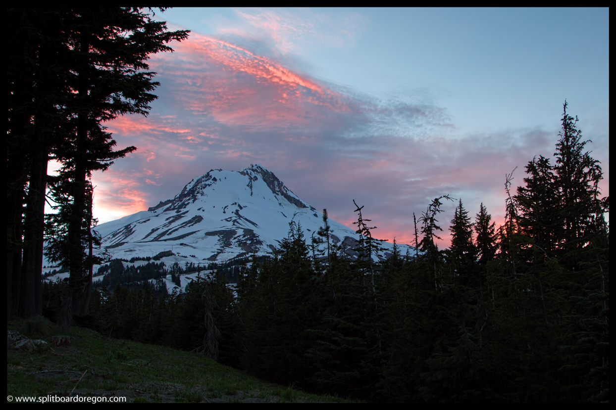
The Wy’East face is a Mt Hood classic. Towering high above the slopes of the Mt Hood Meadows ski area, the line beckons to any rider who’s ever looked at it. Averaging 40 plus degrees for the first thousand feet, and over 30 degrees for the next thousand, it’s sustained pitch makes it one of the better lines on Mt Hood and one I’d been wanting to visit. And, with a ridiculously busy weekend and coming work week ahead of me, I was in need of a day off to free my mind and couldn’t think of a finer place to visit. My buddy Joe was up for the trip, and we made plans to head up on Thursday evening and camp near the Meadows ski area gate. After picking up Joe in Albany, we made quick time up the freeway to Government Camp. Looking at the mountain from Govy, I could tell quite a bit of snow had melted in the six days since I’d been there for the nuts and bolts clinic at Timberline. Shortly thereafter, we pulled into the Meadows parking lot, scoped out our climbing line for the following morning and drooled over the Wy’East. The face appeared to in pristine condition, though the Newton Clark headwall did show evidence of some recent wet slide activity. Car camping for the evening was pretty sweet and a nice change of pace from lugging an overnight pack somewhere for several miles. After dinner, I busted out the tripod and snapped a few photos of the mountain in the evening alpenglow…..
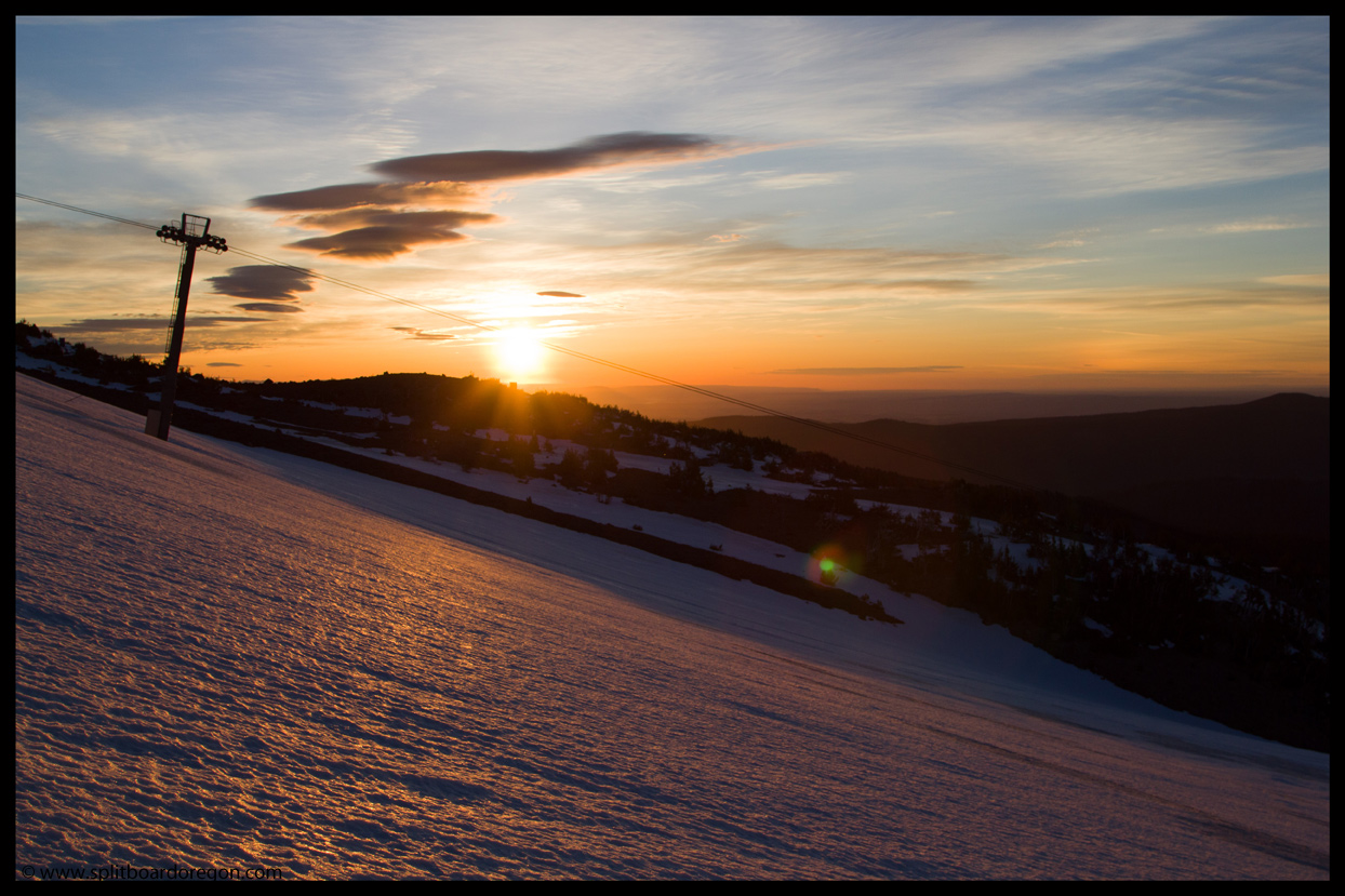
I slept good during the night, which was nice since our 3:00 am wake up call was pretty early. After a quick breakfast, Joe and I headed up the hill at our planned time of 4:00 am. We were able to skin on continuous snow from the base area and it was light enough to skin without the headlamps by 4:15. As we worked our way towards the top of the Cascade lift, the the sun began rising from the east….
Shortly after we cruised past the top of the Cascade terminal, the Wy’East came into view and we got some good looks at the face. Nearly as impressive was looking to the south and seeing Mt Jefferson, Middle Sister, North Sister and Broken Top looming in the morning rays. The view down onto the White River Glacier was pretty nice from the east side as well.
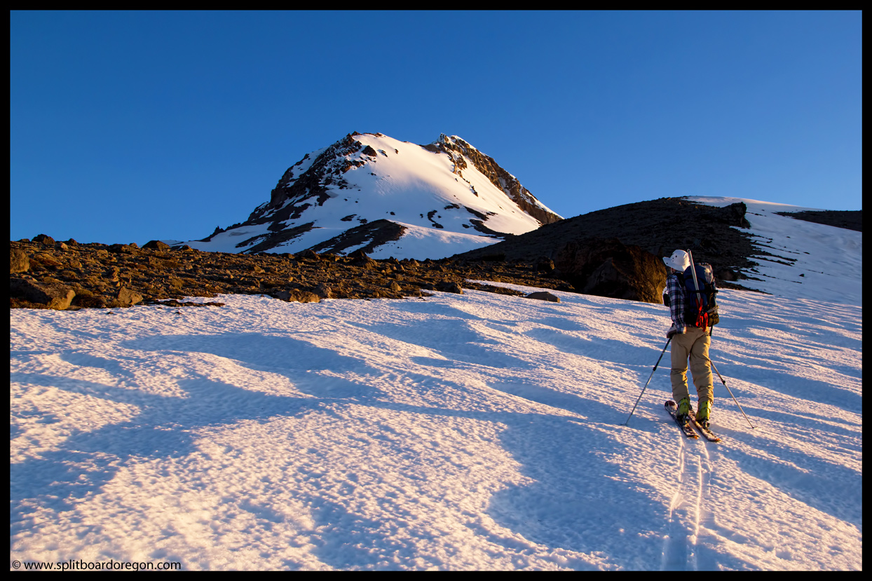
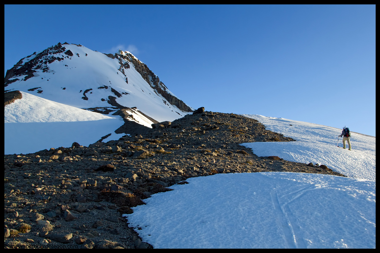
Around 8000 feet the snowpack consisted of a mix of new mushy snow over old firm snow, ranging in depth from 3-12 inches depending upon aspect. Skinning was a breeze and we made good time climbing up. Looking up at the Wy’East, the slope was a blank canvas with the blanket of fresh snow, with no evidence of recent tracks, bootpacks, etc. Joe and I were a bit worried about the possibility of a wet slide, but pressed on as the snow was holding up fine down lower and agreed to assess the conditions as we gained elevation.
Looking out over the Newton Clark glacier and beyond, I could see the mighty Columbia River winding along it’s path on the horizon, illuminated by the morning sun. Multiple thoughts crossed my mind as I gazed out at the river, including what an adventure it must have been for the pioneers that rafted the river from The Dalles to Portland en route on the Oregon Trail. It also made me reminisce of numerous September backcountry bowhunting adventures with my father, where I’d gaze up at the snow covered slopes of the Newton Clark and Wy’East face while driving along I-84 and imagine climbing up for late season turns.
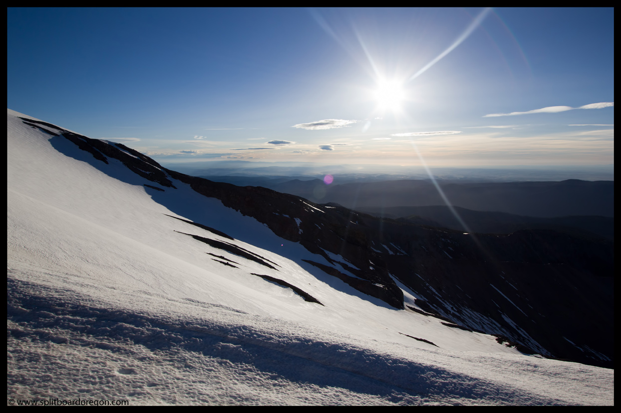
After a quick 10 minute break for lunch, we continued upward. The wind had been coming and going all day, and it was warm when there wasn’t any, cool when there was and irritating when it was gusting. A few of the gusts were sustained for a couple of minutes and pushing 30 miles per hour. We skinned for as long as we could, wanting to avoid booting until it was absolutely necessary.
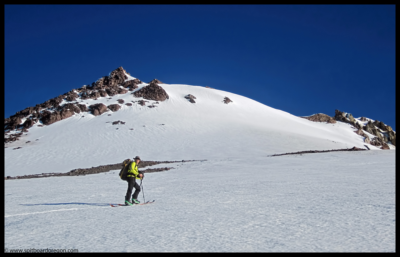
Above the last rock patch we switched to booting where the slope transitioned to a steeper angle. The first 500 feet or so was easy booting, but the last several hundred feet to the summit ridge was over softened and very taxing. We topped out near 10,700 feet and both of us were looking forward to the views down into the crater from above. It was not to be however, since in the last 2o minutes or so prior to reaching the summit ridge a large lenticular cloud was forming which completed blocked the views to the south and west. Standing at the summit ridge for several minutes with the wind was blowing 30 plus miles per hour, it was evident the sky wasn’t going to clear up anytime soon, so we retreated to ride the Wy’East face while the visibility was still good.
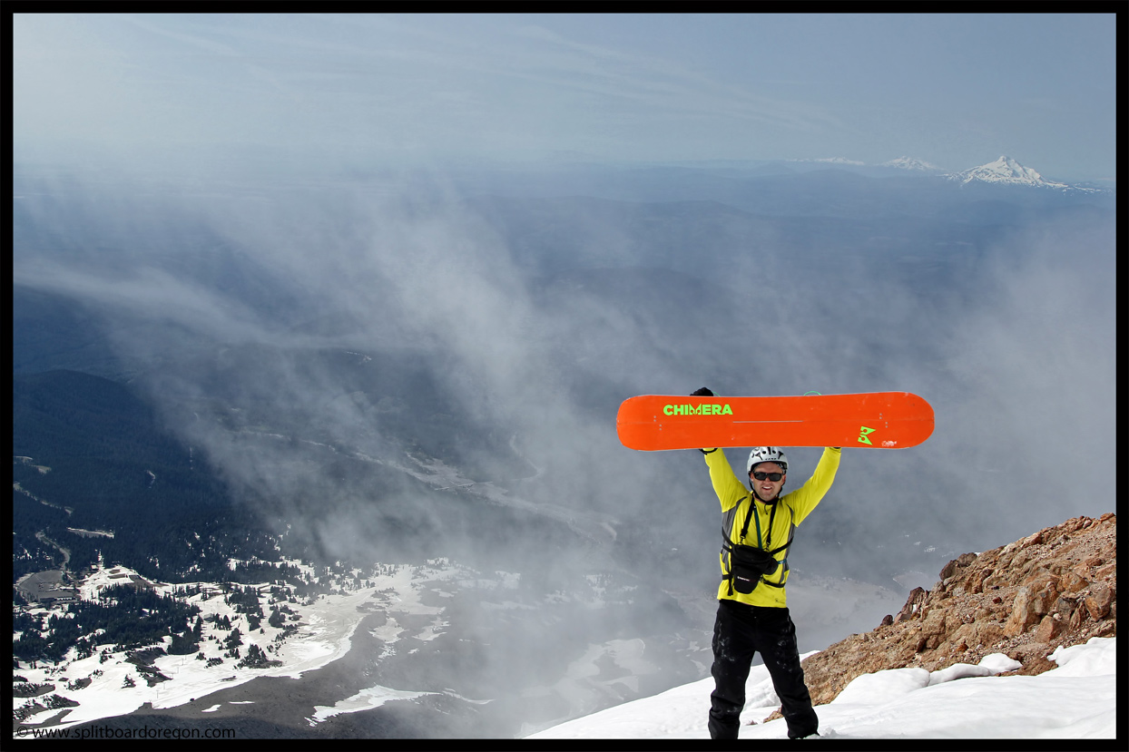
I dropped in first while Joe spotted from above, and made turns a a few hundred feet down the steep slope. Though soft, the snow skied very well and consistently. I stopped at the top of a rock feature and snapped some photos of Joe as he came down and then by me…
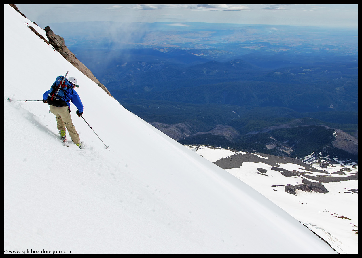
Standing at the top of the rock features, we chose to ski through to the left, making turns down the perfect pitch. I waited until Joe was down past the steeper section and at a safe place before heading down. The slope was so nice I opened it up a bit and ripped down making wide sweeping turns, covering 800 feet or so in no time at all.
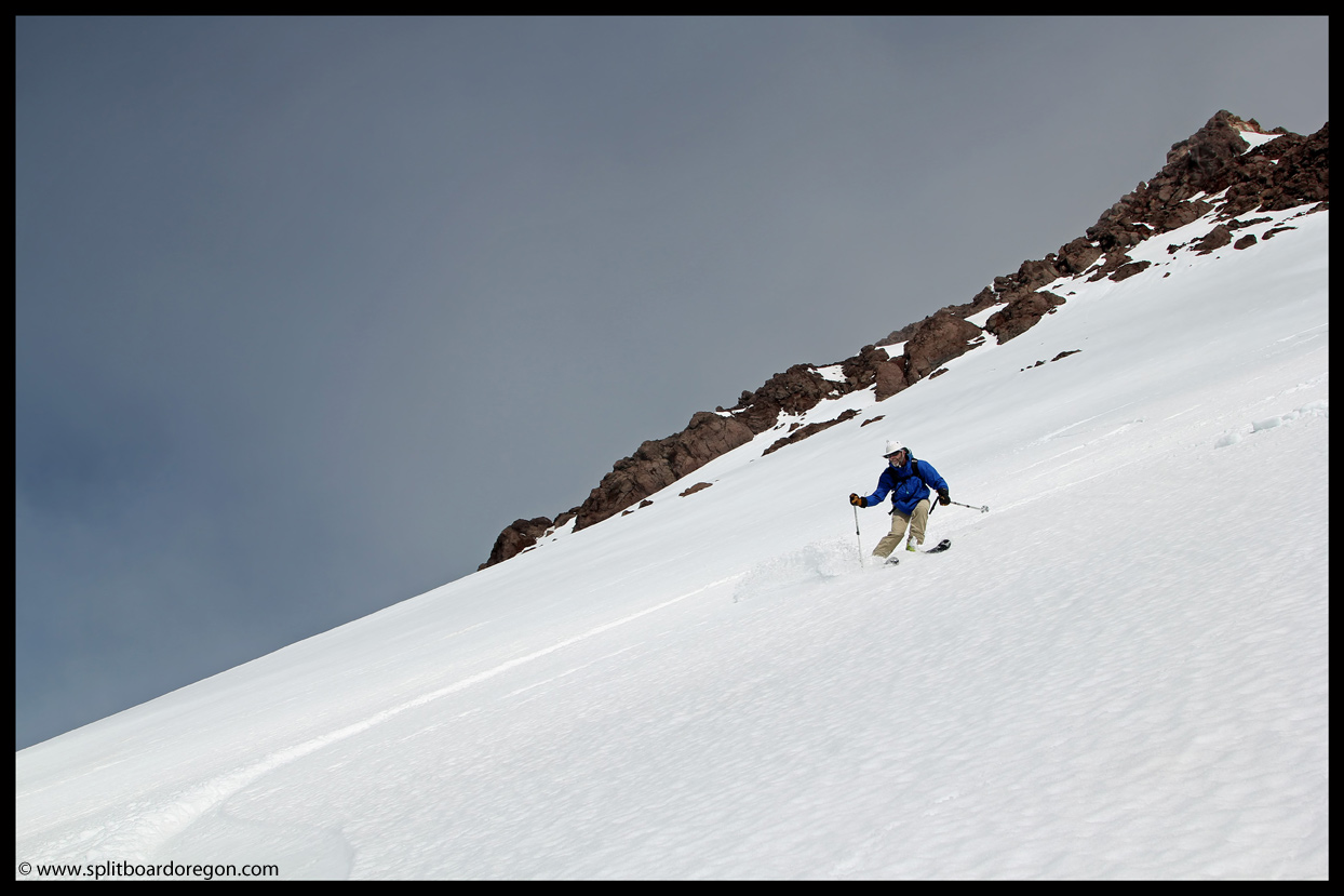
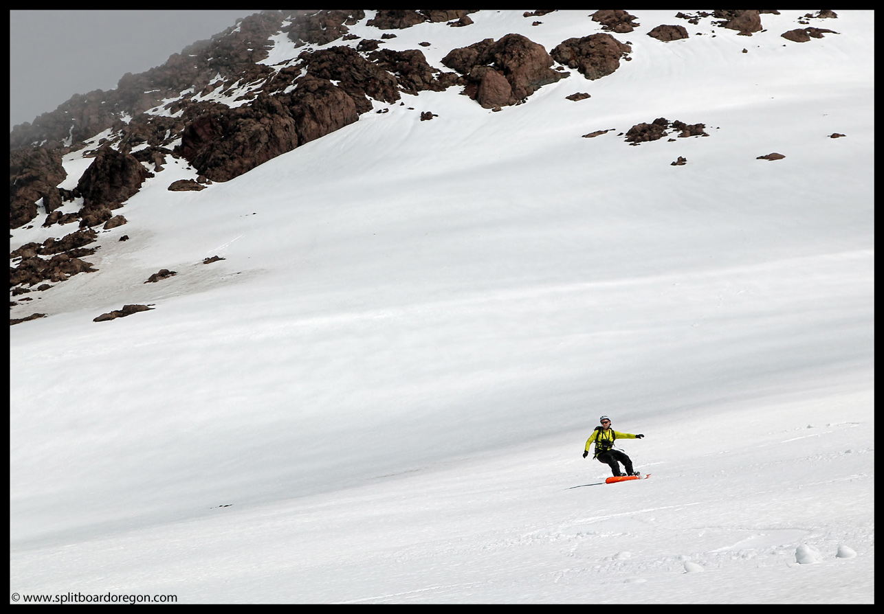
We took turns with the camera, leap frogging each other down the slope and snapping pics along the way. Lower down the slope mellowed a bit and became a bit stickier but was still good for ripping turns. I found a place to setup and snap a couple shots of Joe skiing with the White River Canyon and Mt Jefferson in the background…
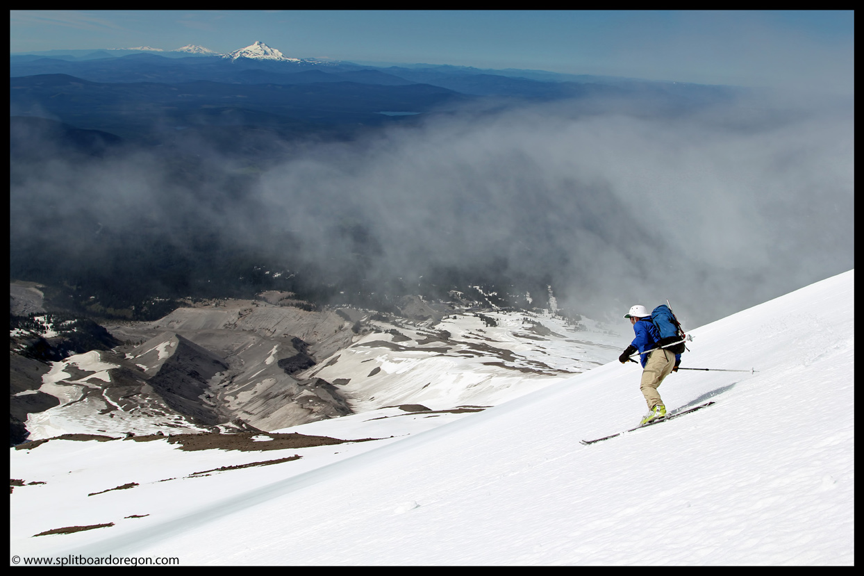
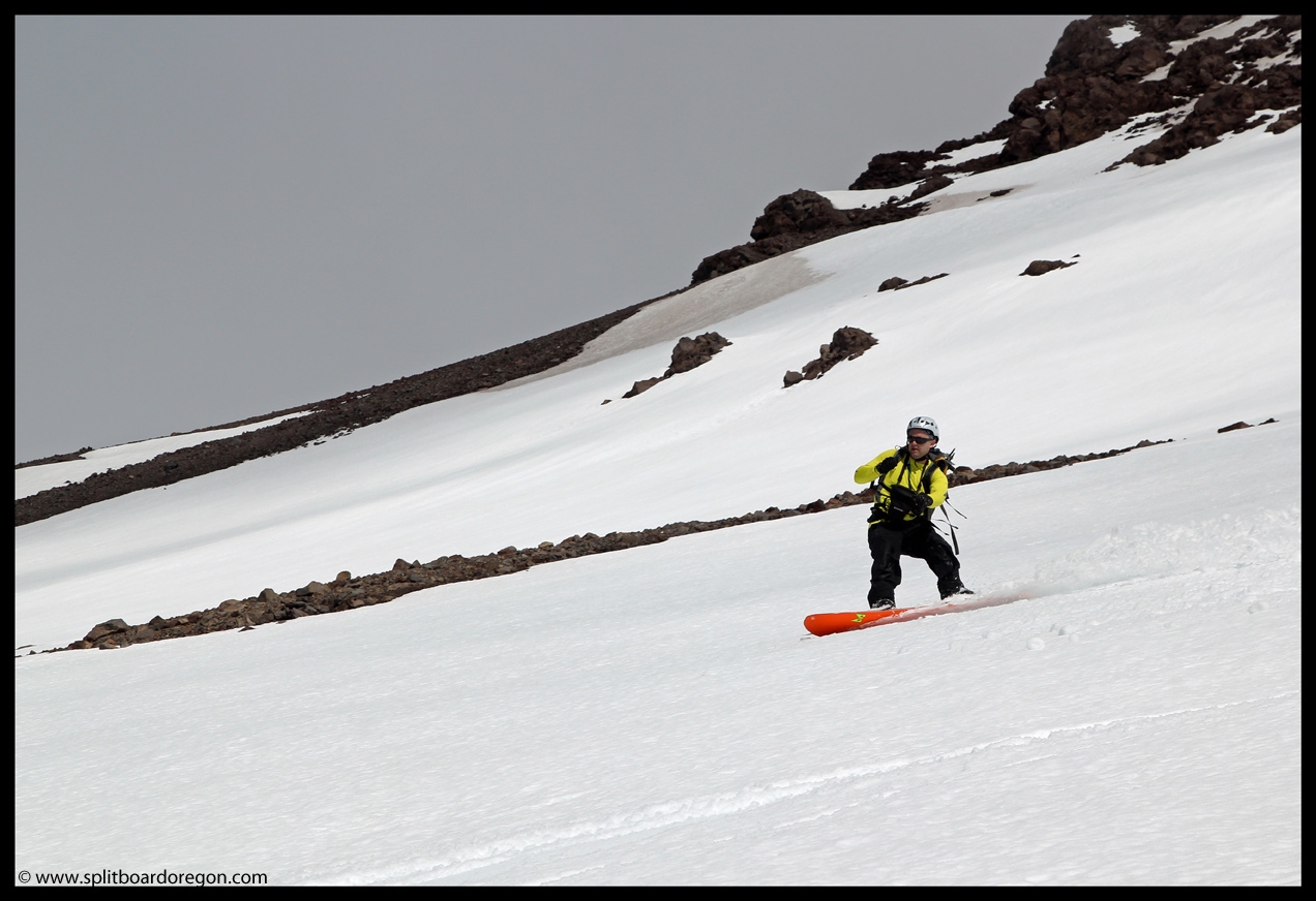
After skiing the Wy’East proper, we crossed the rock ridge and scoped out options for skiing into the Superbowl and upper Heather Canyon. The snow in upper Superbowl looked pretty nice, but lower down conditions appeared to deteriorate. With the warm temperatures of the day, we decided to ski the upper half of the bowl and then traverse out and back to the ski area. Joe dropped in and made effortless turns down the smooth snow….
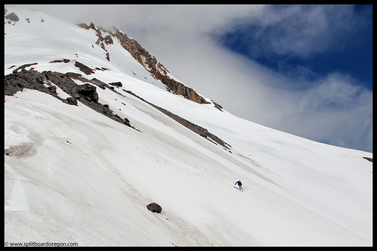
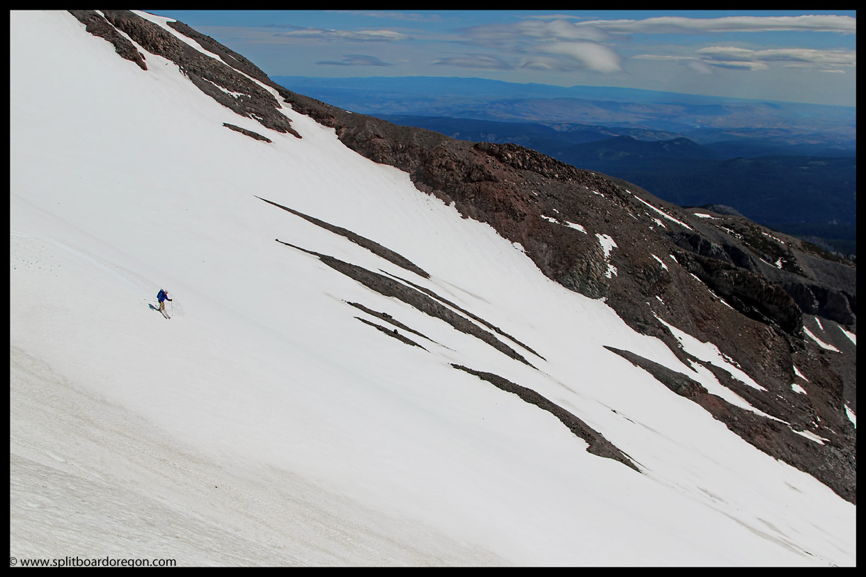
The upper part of Superbowl skied nice as expected, and it was really tempting to drop all the way down. In fact, at one point we reconsidered it and almost did. The slope had it all, but the snow conditions lower down just weren’t quite what we were looking for so the lower half of the bowl would have to wait for another day. After traversing over to where we could see the top of the Cascade lift, a few rock portages were necessary before we got to the large snowfield above the ski area. The ski down through the resort was on dirty snow, but still fun and beat hiking for sure! We were able to link snow patches near the bottom and ride all the way to the parking lot, making for a top to bottom ski of 5500 feet of turns! Not bad for June!
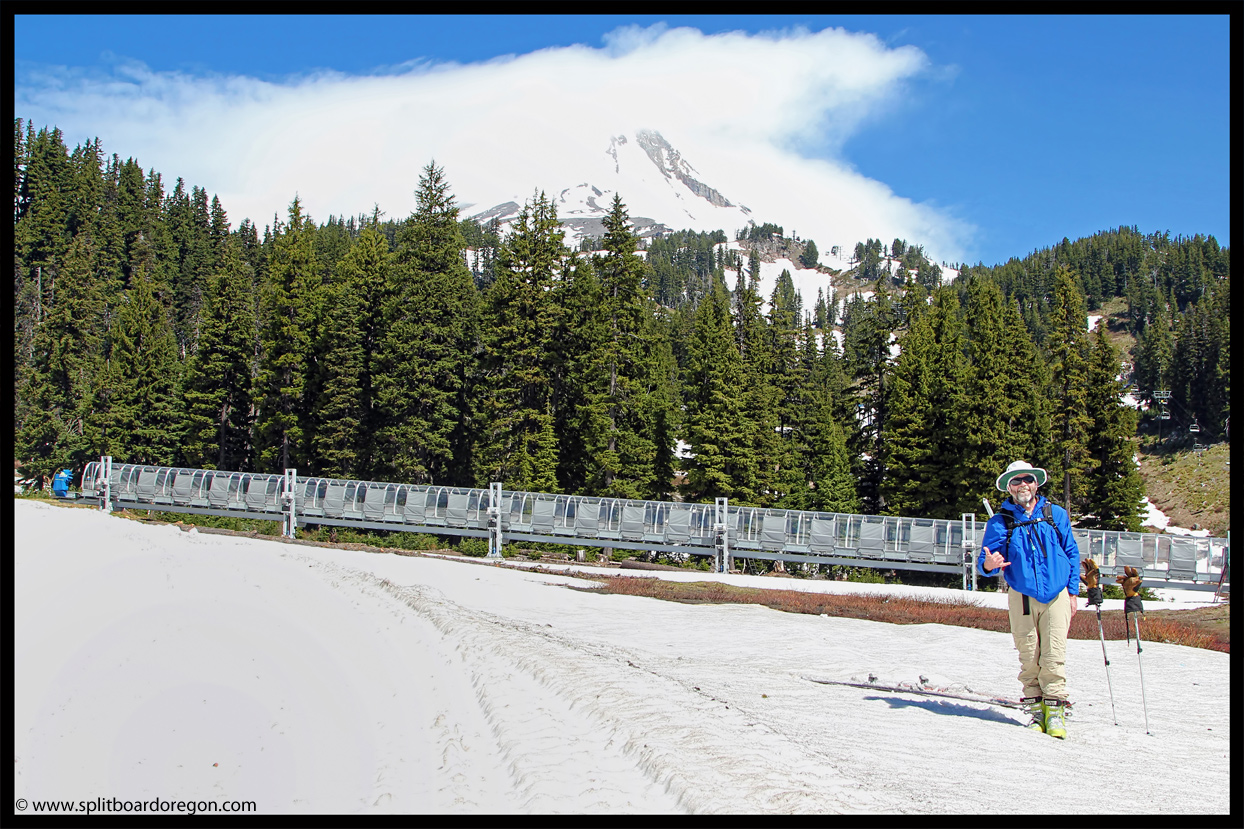
Back at the car, we aired out our gear, changed into shorts and flip flops and grabbed a well-earned ice cold beer. Looking back up at our route, the summit was still engulfed in the lenticular cloud, proving our decision to descend when we did to be a good one. Driving home on Highway 35, the Wy’East came into view and both Joe and I were stoked to see what we’d just skied. Given all the Wy’East has to offer – big vertical, steep slopes, objective dangers (rockfall, avalanche potential, etc.) and awesome scenery, I’d say it’s definitely a Mt Hood classic!
June 12, 2013
I love the shot of Hood with the evening clouds.
Looking forward to getting back up there…
June 13, 2013
Thanks Joe, definitely a good time. Hope to get a few more trips in before the season is over….